Real-Time Fire Detection
Powered by NASA satellites and community intelligence
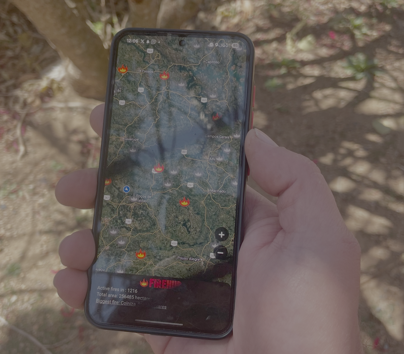
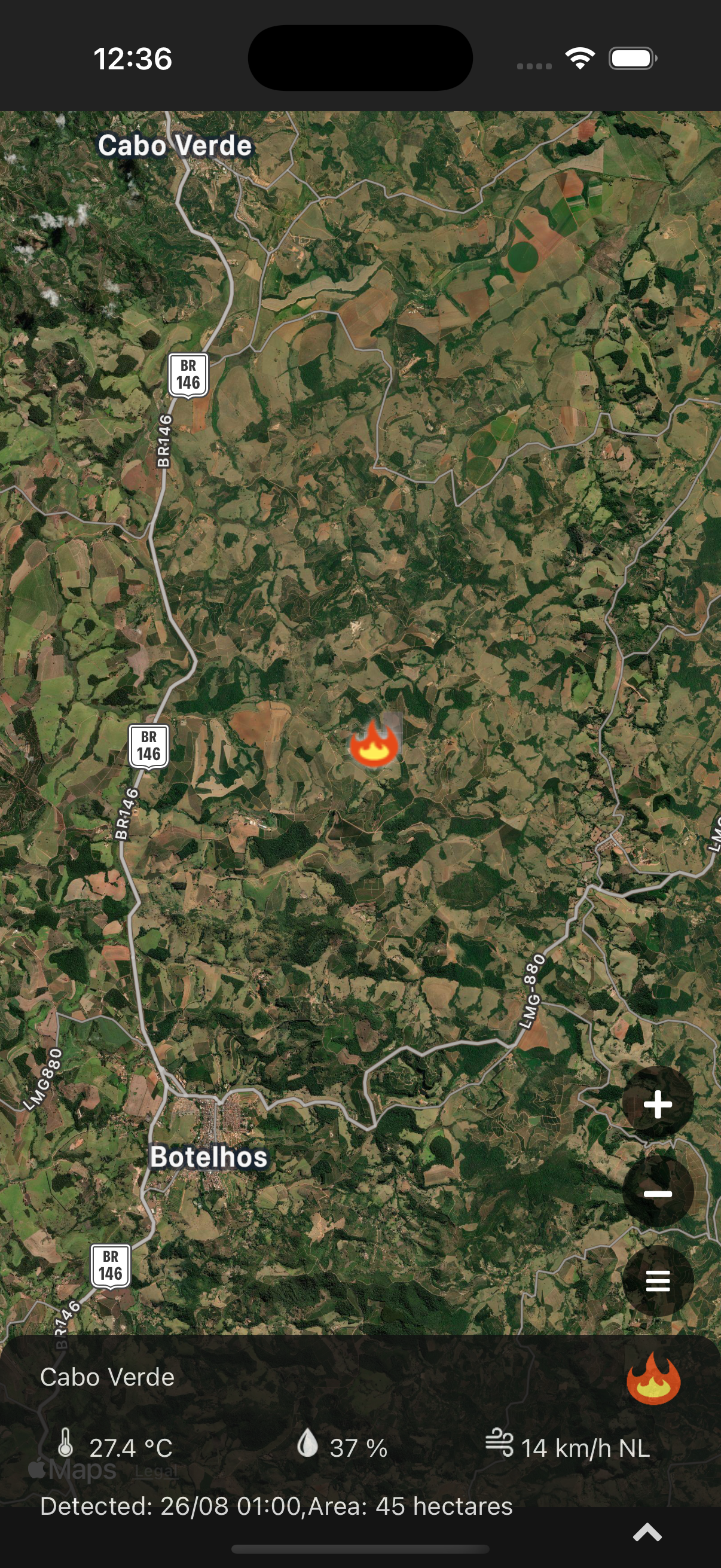
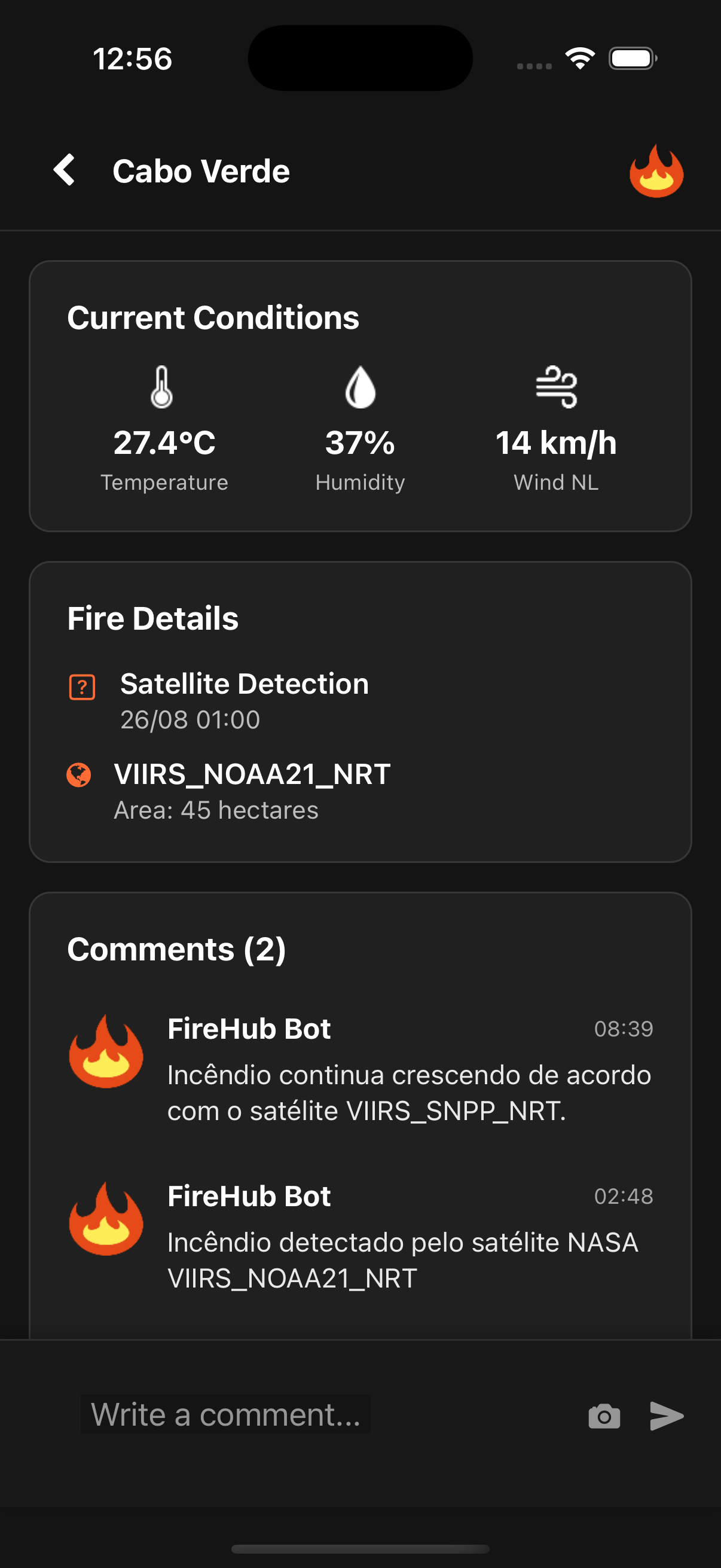
NASA FIRMS Integration
FireHub uses NASA's FIRMS satellite data to detect fires as they happen, providing the most accurate and up-to-date fire information available.
Community Fire Reports
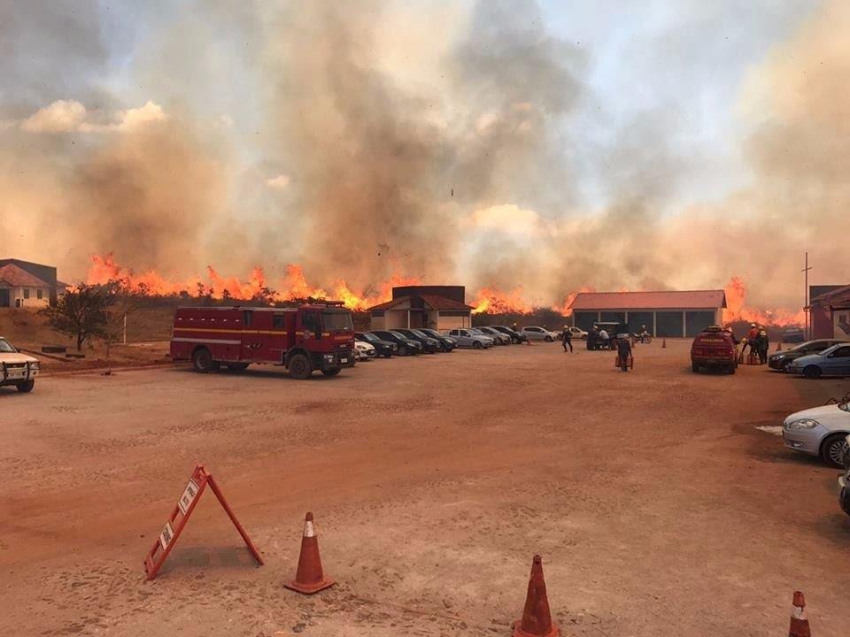
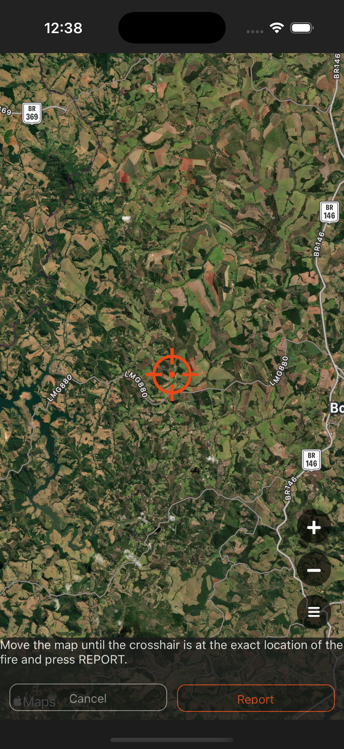
While satellite detection can have delays, users can report fires immediately, ensuring firefighters get critical information faster than ever before.
Live Fire Mapping
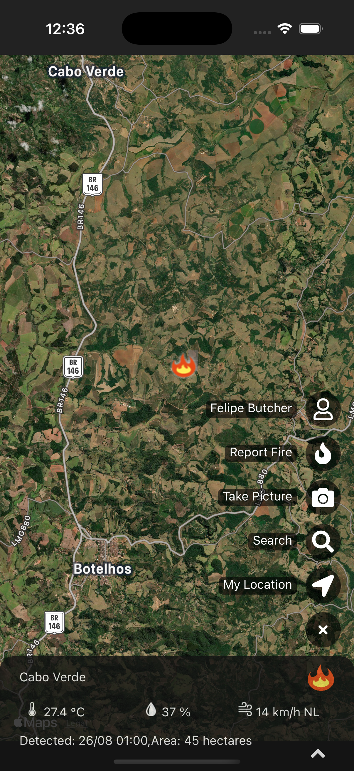
View all active fires on an interactive map with real-time updates. See fire locations, sizes, and progression at a glance.
Instant Fire Alerts
Never miss a fire in your area
Get immediate notifications when fires are detected near you. FireHub alerts you to both satellite-detected fires and community-reported incidents, ensuring you're always informed.
Monitor fire activity in real-time through our mobile app. Receive detailed alerts with fire location, size, and progression data to help you respond effectively.

Getting Started
How to join the FireHub community
Download the FireHub app on your smartphone - available for Android and iOS devices.
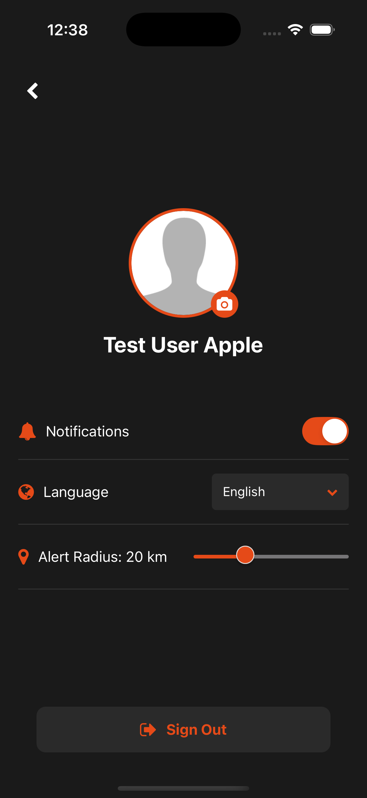
Create an account and set your location preferences to receive relevant fire alerts.
Enable notifications to stay informed about fires in your area and contribute to the community.
FireHub Features
Satellite Fire Detection
NASA FIRMS integration provides real-time satellite fire detection with global coverage.
Community Intelligence
Users can report fires, add photos, and comment on fire incidents to enhance community knowledge.
Live Fire Mapping
Interactive map showing all active fires with real-time updates and detailed information.
Download FireHub
Available on all platforms


×
FireHub Screenshots
Main app interface showing fire alerts
Detailed fire information view
App navigation menu
User profile and settings
Report new fire interface